


Mapping the Landscape: Anti-ICE Protests and Governmental Reactions
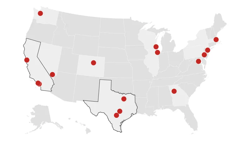
Across the United States, a wave of protests has emerged in opposition to the U.S. Immigration and Customs Enforcement (ICE) and its policies. These demonstrations reflect a growing discontent with the agency’s practices and the broader immigration policies of the government. Visual representations, such as maps, offer a comprehensive view of where these protests are occurring and how the government is responding.
The protests vary in size and scope, ranging from small, local gatherings to large-scale demonstrations involving thousands of participants. Common protest locations include ICE offices, detention centers, and government buildings. Protesters voice concerns about family separations, detention conditions, and the overall treatment of immigrants. Advocacy groups, community organizations, and concerned citizens are driving forces behind these demonstrations, seeking policy changes and increased oversight of ICE activities.
Government responses to these protests have also varied. In some instances, officials have engaged in dialogue with protesters, addressing concerns and attempting to find common ground. However, other responses have involved law enforcement intervention, including arrests and the use of crowd control measures. The perceived intensity and appropriateness of these responses have themselves become points of contention, further fueling the debate surrounding immigration enforcement.
Mapping these protests and government responses provides a visual tool for understanding the geographic distribution of dissent and the corresponding reactions from authorities. This visualization highlights areas where tensions are particularly high and where dialogue may be most needed. By examining these maps, the public can gain a clearer perspective on the ongoing debate surrounding immigration policy and its impact on communities across the nation.
In conclusion, the rise of anti-ICE protests and the government’s reactions to them represent a significant chapter in the ongoing discussion about immigration in the United States. Visual tools like maps are essential for understanding the multifaceted nature of this issue and its widespread impact.


